
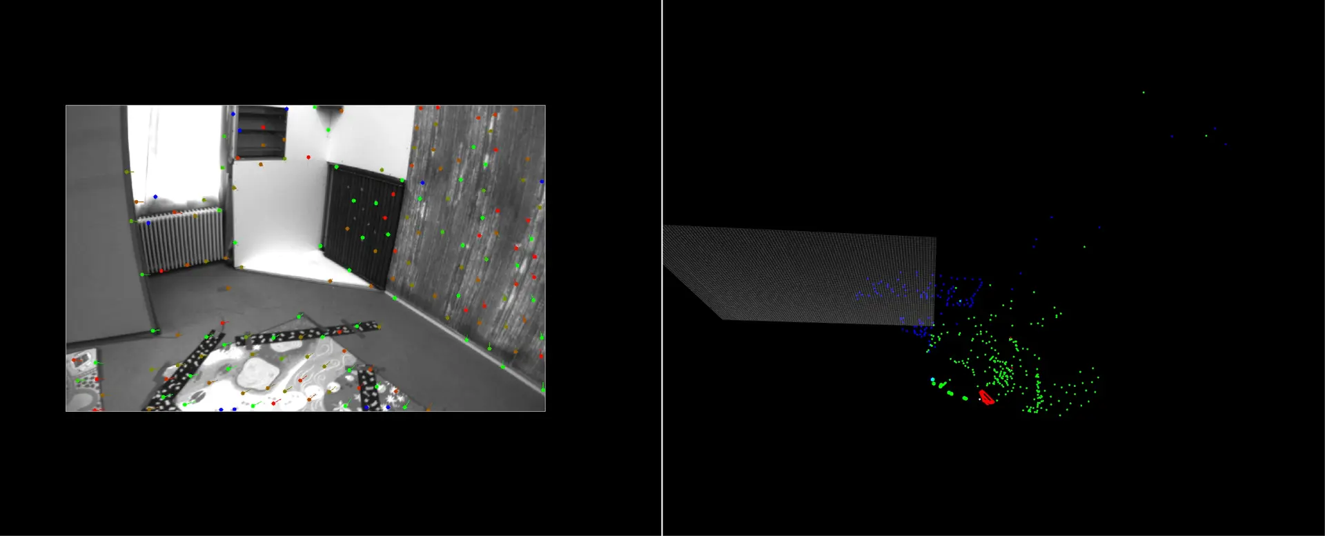
Positioning
Positioning
- ~5% navigation drift over distance
- 10 Hz positioning update rate
- Tightly coupled visual-inertial fusion
- Real-time 3D scene reconstruction
- Mono & Stereo navigation
Available September 2026
Stabilized 4-sensor EO/IR gimbal. Built for seamless
drone integration. Lightweight. Open architecture. EU sovereign.
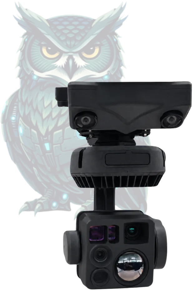
MAVLink compatible. Standard video outputs. Your pipeline, unchanged.
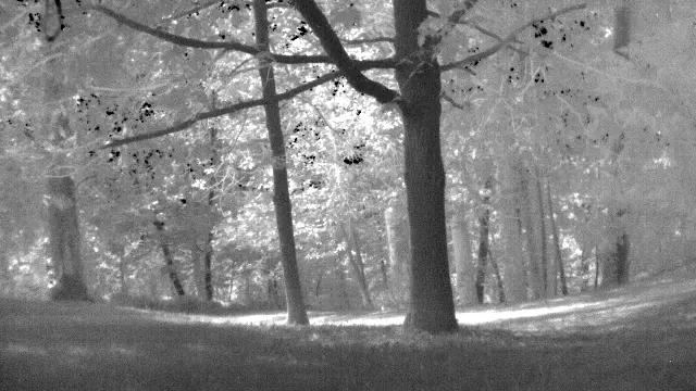
Visual Inertial Odometry. Flight autonomy without GPS signal.
Process on your platform. Zero vendor lock-in. ITAR-free.
SCOPS GIMBAL ISR PAYLOAD
SCOPS
combines stabilized EO/IR with embedded processing.
Real-time data fusion. H.264/H.265 encoding. MAVLink compatible.
GNSS-denied positioning. Autonomous flight in GPS-denied, urban, and underground environments. Real-time inertial fusion.
EU SOVEREIGNTY
OPEN SOURCE PIPELINE
EMBEDDED PROCESSING
INTEGRATION-READY
Persistent aerial monitoring for border & infrastructure security and overwatch.
Automatic target detection and tracking from stabilized aerial ISR platforms.
Automated detection of terrain or activity changes through persistent aerial observation.
Schedule a personalized demonstration to explore our ISR capabilities. Discover how our open-architecture gimbals and data fusion software integrate seamlessly into your UAV platforms.