Skip to Content

Use case

Terrain
MONITORING

Observation of remote areas — Early detection of terrain modifications and unauthorized activity.

How it works

Same area, pass after pass

In the field

What changed, and where
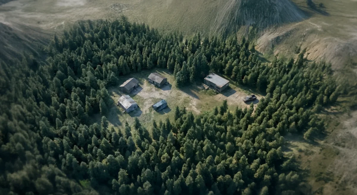
Aerial view of a forest clearing with a few buildings, as recorded on a first pass
First passBaseline observationEach observation pass is georeferenced and timestamped.
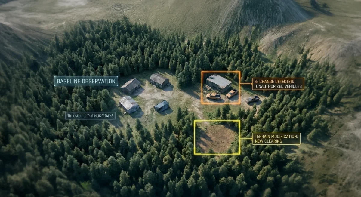
The same clearing on a later pass, with new structures and cleared ground outlined
Later passChanges flaggedNew constructions, vehicle movements and infrastructure modifications stand out, without manual comparison.
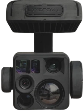
Illustrative images SCOPS 3-axis EO/IR gimbalBuilt withSCOPS5-sensor EO/IR gimbal, already flying.Discover SCOPS

Bring change detection to your UAV

Discuss your monitoring requirements with our team, and evaluate SCOPS on your platform.